Rapid City, SD (2025)
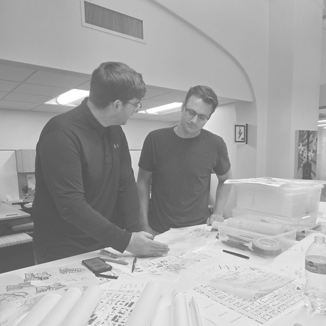
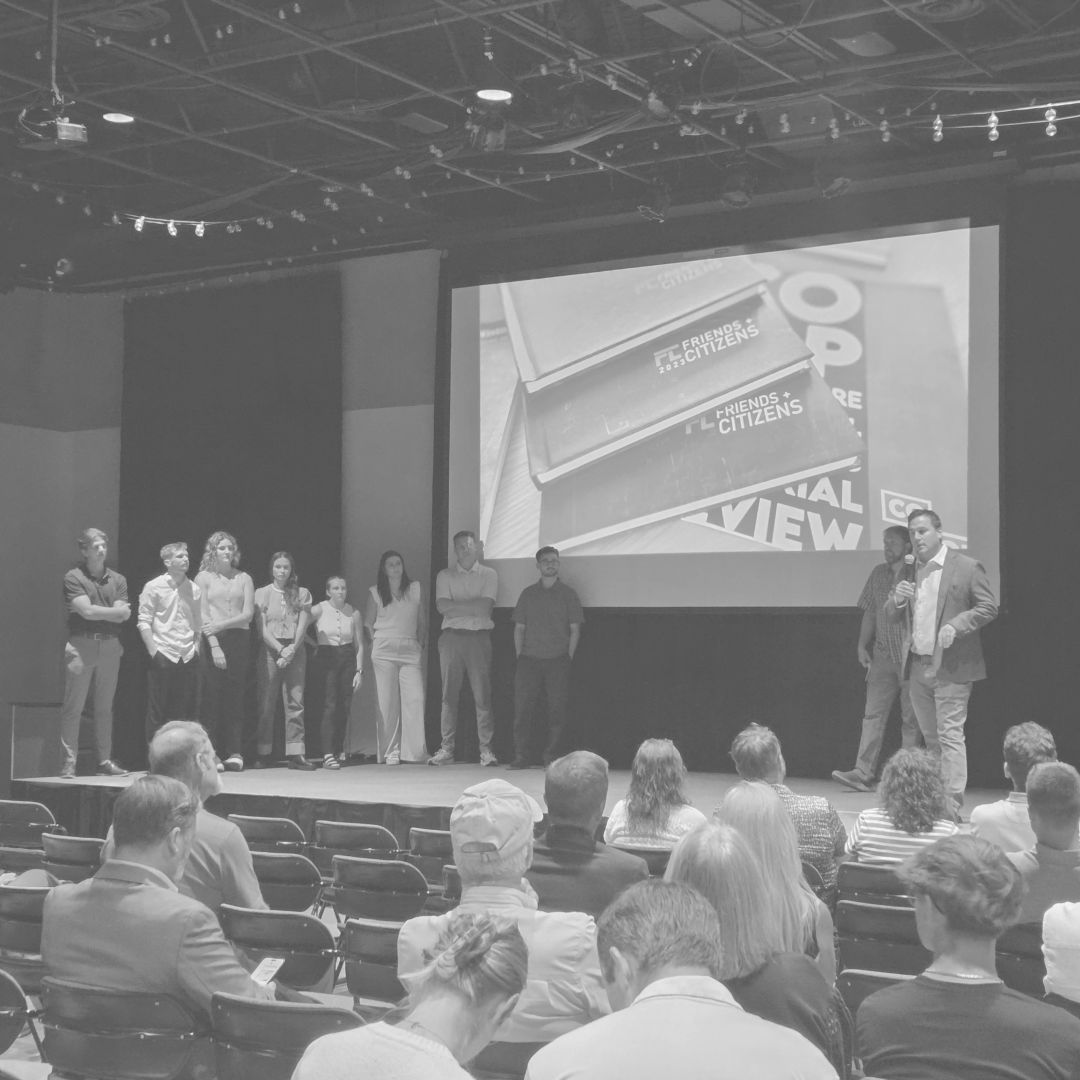
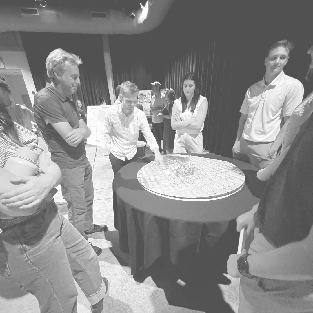
The 2025 Summer Studio included a couple of long road trips to Rapid City, some challenging conversations, and a good deal of thoughtful design work by a talented crop of eight interns. A new CO-OP record.
Friends & Citizens is an AIA-award-winning, summer-long design studio that integrates the academic and professional worlds of architecture for a group of interns. Each summer, CO-OP oversees a handful of students from various disciplines, offering them the tools and guidance necessary to complete a theoretical design project in addition to some practical daily work. The students develop their design skills, take part in public policy discussions, learn smart and sustainable land use and urban planning strategies, and most importantly, help build vibrant communities.
Over the course of the summer, this cohort of interns was challenged with developing a concept for a proposed site in Rapid City, South Dakota. The project envisioned the creation of a dynamic, mixed-use district — a “city within a city” — that integrates residential, commercial, hospitality, healthcare, and recreational amenities within a cohesive urban framework. The goal was to design a vibrant, inclusive, and future-forward community that not only functions as a self-sustaining destination but also seamlessly connects to and enhances the broader fabric of Rapid City. Through careful analysis and design, the plan balances innovation with contextual sensitivity, building upon the city’s existing identity while addressing evolving community needs and long-term growth objectives.
As part of the initial stages of the project, the interns undertook a comprehensive study to grasp the environmental, cultural, and urban conditions of both the site and its surroundings. They delved into Rapid City’s historical development to uncover the influences of its origins and growth patterns on today’s built environment. In addition, circulation analyses examined vehicular, pedestrian, and multimodal flows, identifying critical access points and movement patterns to enhance connectivity. The research also included mapping the site’s topography to assess how natural contours and elevation changes could affect drainage, views, and development potential. An evaluation of local vegetation and ecological systems provided insights into how native plant communities and green infrastructure might be preserved or improved to promote sustainability. Weather patterns such as prevailing winds, solar orientation, and seasonal fluctuations were studied to support climate-responsive design strategies. Finally, the team reviewed existing architectural styles and urban forms to inform a context-sensitive approach. Together, these research efforts laid a robust foundation for a plan that is both firmly rooted in the local context and adaptable to future challenges.


Mapping the Moments:
Hillcrest Experience
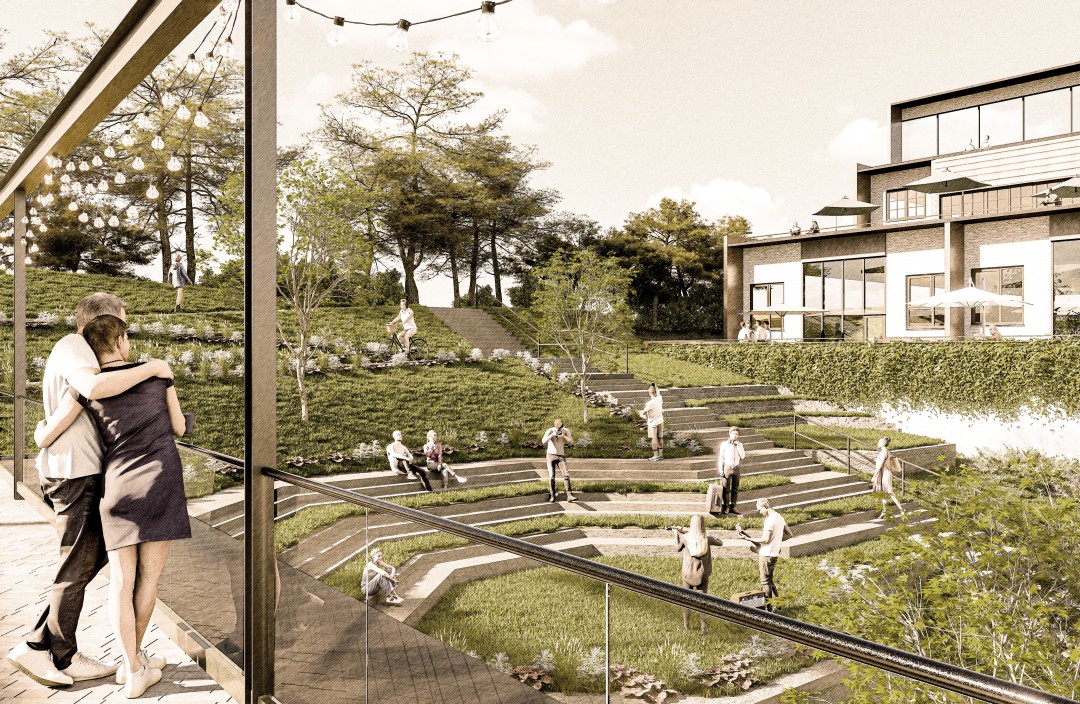
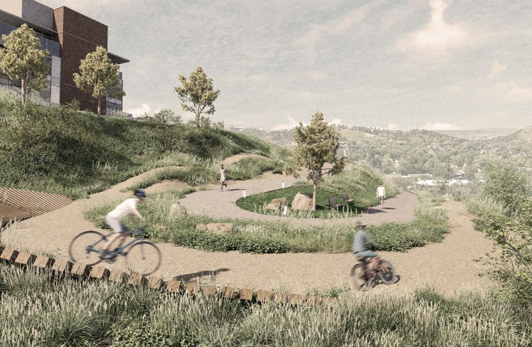
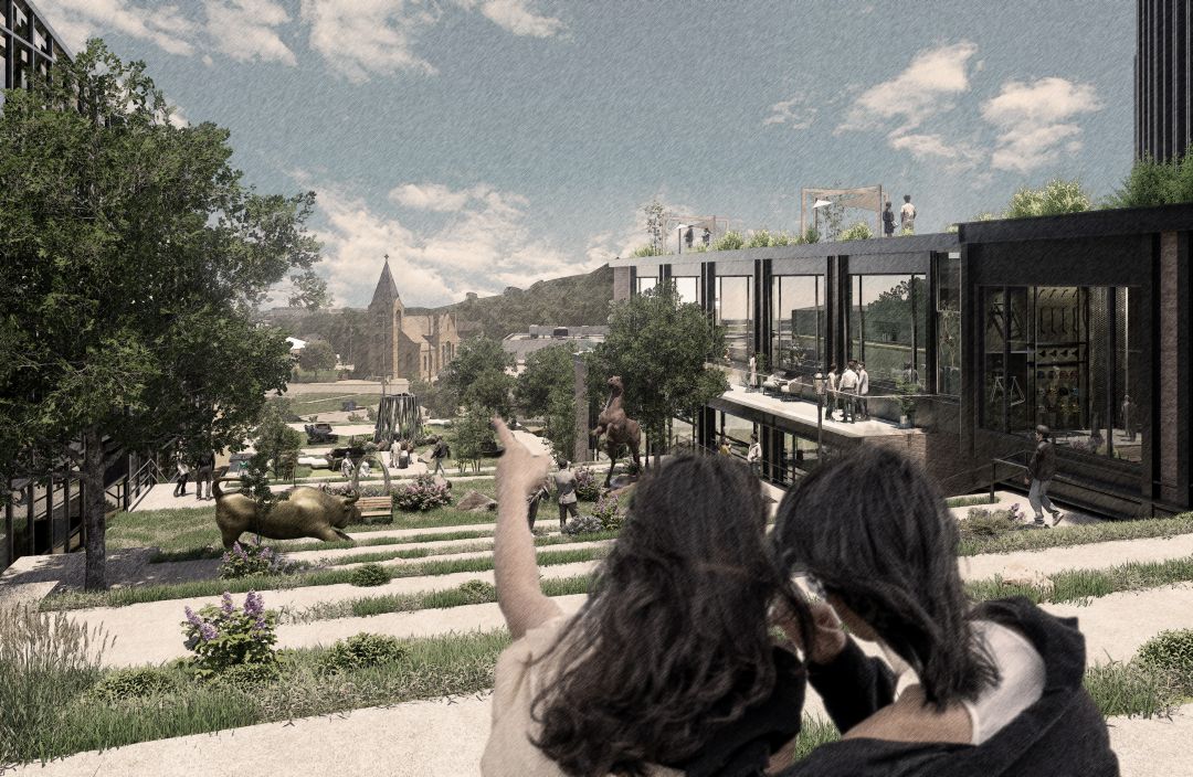
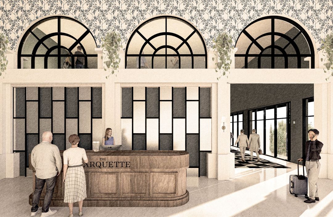
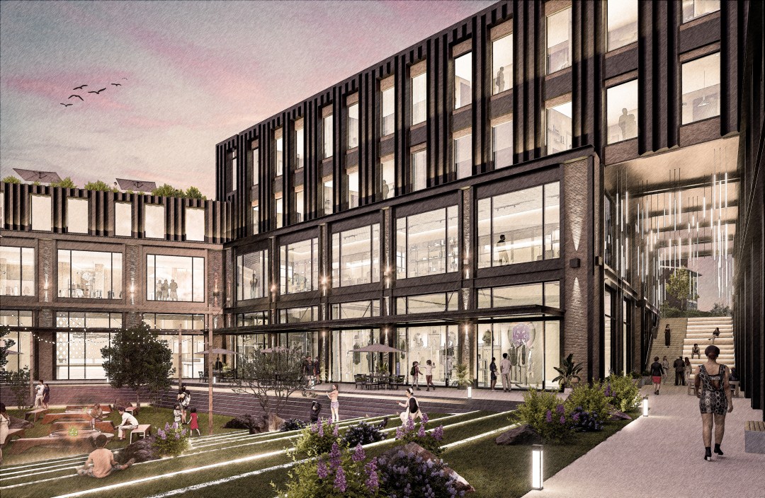
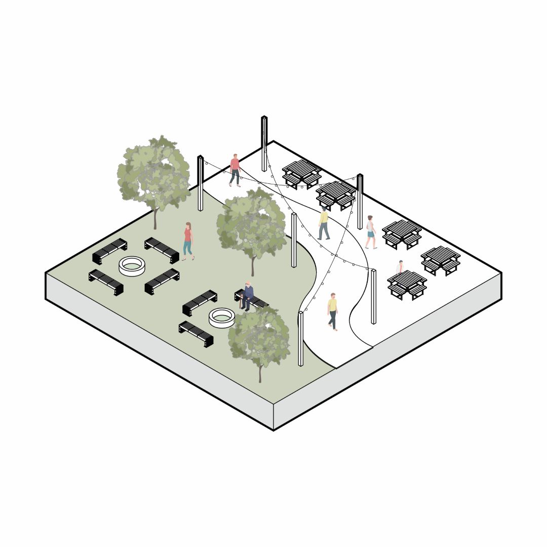
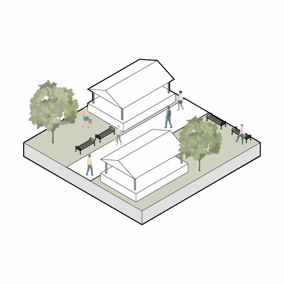
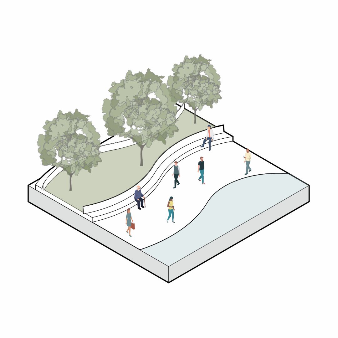
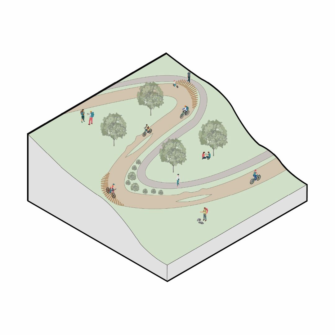
To tell the story of the site and share the experience of Hillcrest, we developed a series of human-scaled moments throughout the site. The intent was to develop each of these moments in a much deeper fashion, exploring their design intent and spatial character. These moments guide the reader on a journey through the site, beginning in the northeast corner, circling along the crest of the hill, and then returning through the main pedestrian path. In doing so, the narrative mirrors the experience of walking the grounds, allowing each space to unfold gradually and intentionally. The entire sequence is meant to be understood at a human scale — immersive, approachable, and grounded in the experience and feeling of Hillcrest.

Vehicular Circulation:
Site Diagram
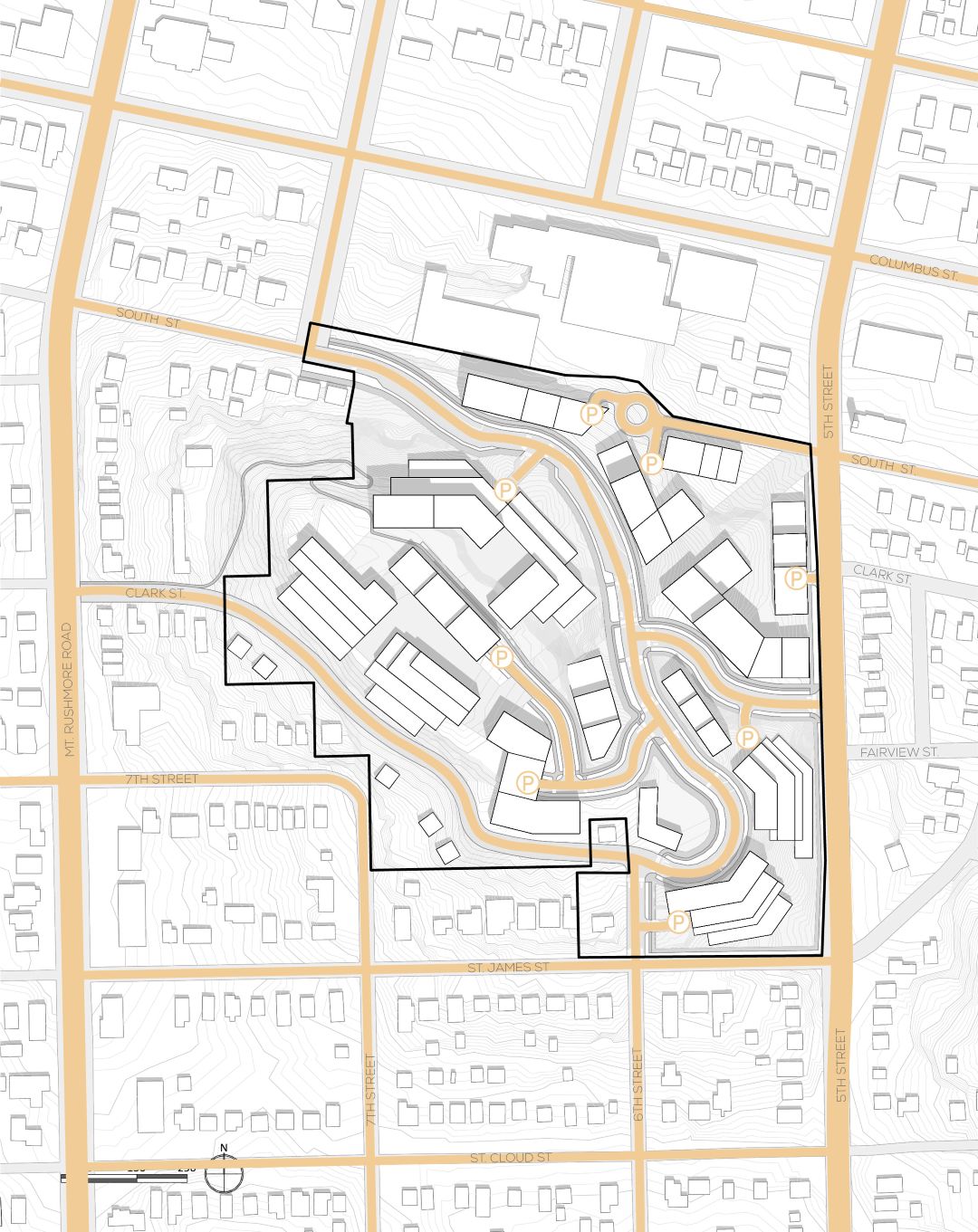
The site is bordered by two major roads —Mount Rushmore Road and 5th Street— so it was important to create internal roadways that connect safely to these main arteries. To achieve this, we added access points on all sides of the site.
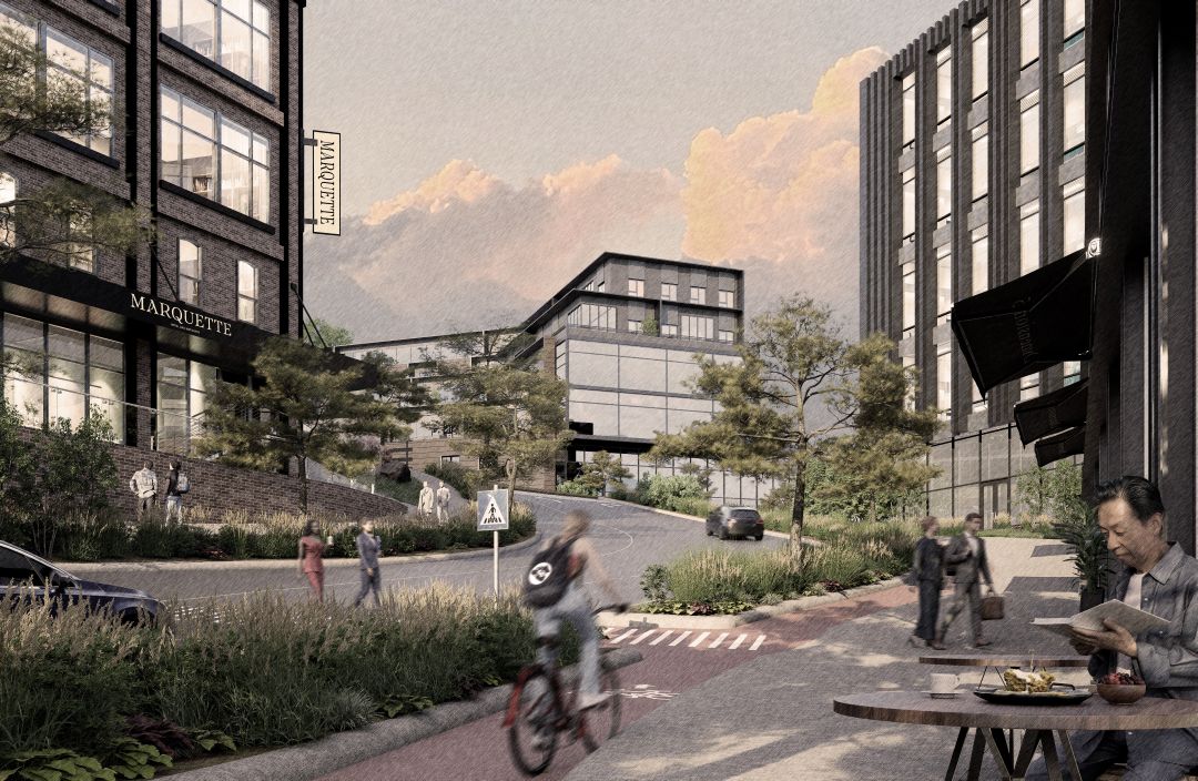
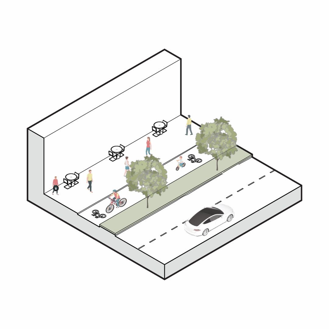
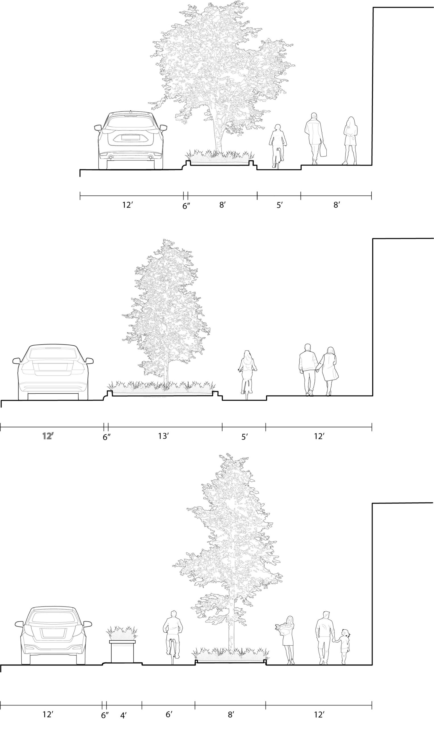
Within the site, we focused on designing streets that allow cars, bikes, and pedestrians to safely share space. The diagram below shows how we’re beginning to shape the streetscape to support these safe interactions. The road layout follows the natural topography and provides ample space along the sides for bike lanes and pedestrian paths.
Parcel Area Breakdown:
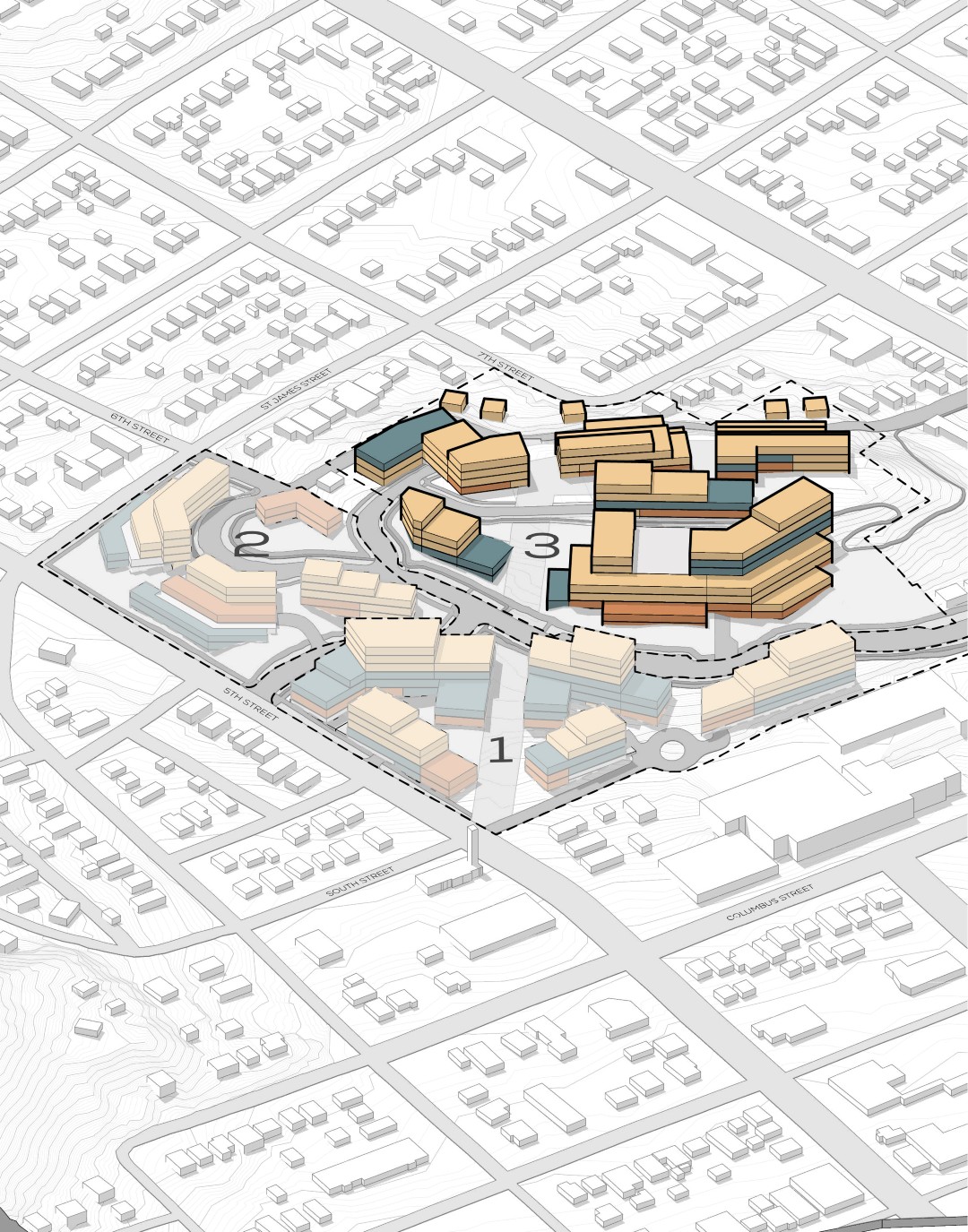
District 3
District 3 is the largest district and includes 12 parcels, primarily focused on residential development. With its central location, all programs can easily be accessed from the rest of the site. The bar graphs to the right show the square footage of each program and the Floor Area Ratio (FAR) for each parcel.


Building Test Fit:
Parcel 5
As one of the largest buildings on the site, located near the downtown district, Parcel 5’s building had a strong demand for mixed-use development. To meet this need, the first three floors include a mix of office and retail spaces, as shown in the floor plan on the right. For added privacy, the upper floors are dedicated entirely to residential units, which can be seen in the section below.
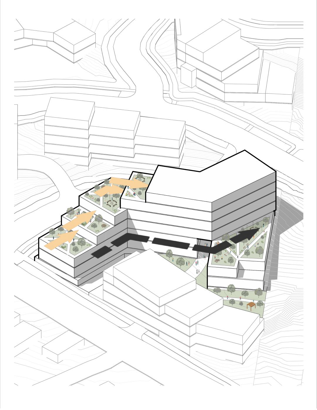
To reflect the design language of the surrounding site, the terraced platforms were expanded, activating the rooftops and making better use of the space. Finally, the top floors were rotated to face Parcel 12, creating an indirect visual connection between the two buildings and emphasizing the central axis that runs through the site. This change is demonstrated in the diagram on the following page.